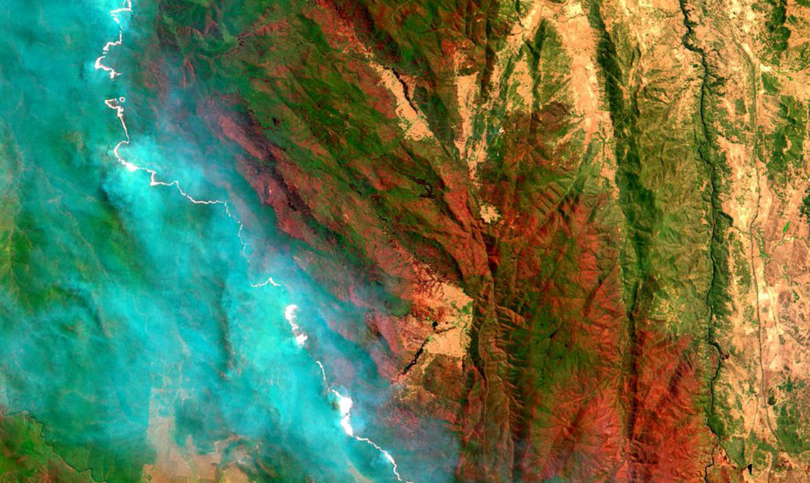
Satellites orbiting our planet have been recording physical changes across the Australian landscape for more than 40 years. Digital Earth Australia (DEA), a ground-breaking open source analysis platform, developed by researchers at Geoscience Australia, is making this rich trove of satellite imagery and other Earth observation data useful and accessible for everyone. Thanks to the DEA program, individuals, communities, industry and government can use this data for making informed decisions about the environment and economy.

Submitted by Jane Gifford


