
Kicking off a new series of blogs by GÉANT’s ‘travelling ambassadors’, Chris gives us an insight into his attendance at GEO Week 2019.
Imagine a huge hall, rows of white linen covered tables filled with a thousand of the top scientists, and the world’s government representatives from the field of earth observation. A huge table at the front on a very tall stage. Two massive screens. And my image projected on to both of them! ‘Intimidating’ is probably the most apt way to describe the situation as I utter the words “GÉANT is proud of the contribution we make to GEO…”
But it’s probably best to explain what GEO is first before we come on to what I was doing there.
GEO, the Group on Earth Observation, is an inter-governmental organisation which exists to support scientists with the data they need to address and monitor the big three global challenges:
- Sustainable development
- Climate change
- Disaster and emergency response.
This organisation is in a way a mini version of the United Nations. In fact, it is part of the UN in a way, with all the secretariat staff employed by the World Meteorological Organisation (WMO). This makes it a very special group of people, with a feeling that seems a bit more like a cross between a family gathering, a scientific symposium and a government assembly. The work they do helps governments at the highest level make informed decisions.
Tackling deadly floods
This much was clear when the representative from Uganda explained how information from the Landsat and Copernicus programmes helped to identify those areas of their most populated city that would flood, as a result of climate change. This went on to inform their planning policy and resulted in 4000 families being moved to protect their lives.
One thing I learned during this conference is that flooding accounts for 45% of all-natural disasters each year on our planet, a figure that has risen due to climate change. And from this, each year 26 million people are forced into poverty as a result of flooding. By moving these people, not only are they less likely to lose their lives, but also less likely to fall into poverty. The government then requires less resources to respond to the flooding and will be able to invest the money they save in infrastructure projects which benefit the whole of the community.
This isn’t just happening in Uganda, this is happening all over the world. And this work is all thanks to the earth observation data which we as a R&E community support and pass across our various networks.
But going back to why I was there…

How does GÉANT support GEO?
GÉANT is a participating member of GEO, representing the interests of all of its NREN members, promoting their work and trying to find opportunities to collaborate with other GEO members to help support science and researchers needs.
At an event such as this, this typically starts with me walking up to someone and just starting a conversation with them about their work, exploring what they do to see if there is anything that our community can do to help them. At least, that is how it started!
However, when the Chinese delegation called for commercial telecommunications organisations to get involved in GEO, to address the lack of connectivity in developing nations, I quickly edited a statement I’d drafted and raised my GÉANT placard to signal an intervention.
GÉANT and its global R&E partners are doing a huge amount to interconnect the world in order to support research – but there is still a long way to go.
Working towards peak science in earth observation
And because not all places are on an even playing field, we haven’t even reached the point of peak science in the earth observation field. There are places which have archives of data but they are still forced to share it by copying it to disks and transporting it around the world.
There are also indigenous communities which have orally documented climate history of hundreds of years but have no means of sharing it. That said, GÉANT and RedIRIS have this year been involved in a pilot of eduTEAMS with a GEO flagship programme, to make it easier for researchers to use the European GEO pilot programme (NextGEOSS).
GÉANT also successfully encouraged RedCLARA to become a participating member in GEO and they have now taken up the baton working directly with AmeriGEO, one of the regional caucuses.
I also highlighted the work we are doing in connecting Latin America via the BELLA project. And the support we’ve given to UbuntuNet Alliance in getting a regional mapping centre connected in Africa, so that they can receive EUMETCast data by fibre, rather than through a satellite dish this year.
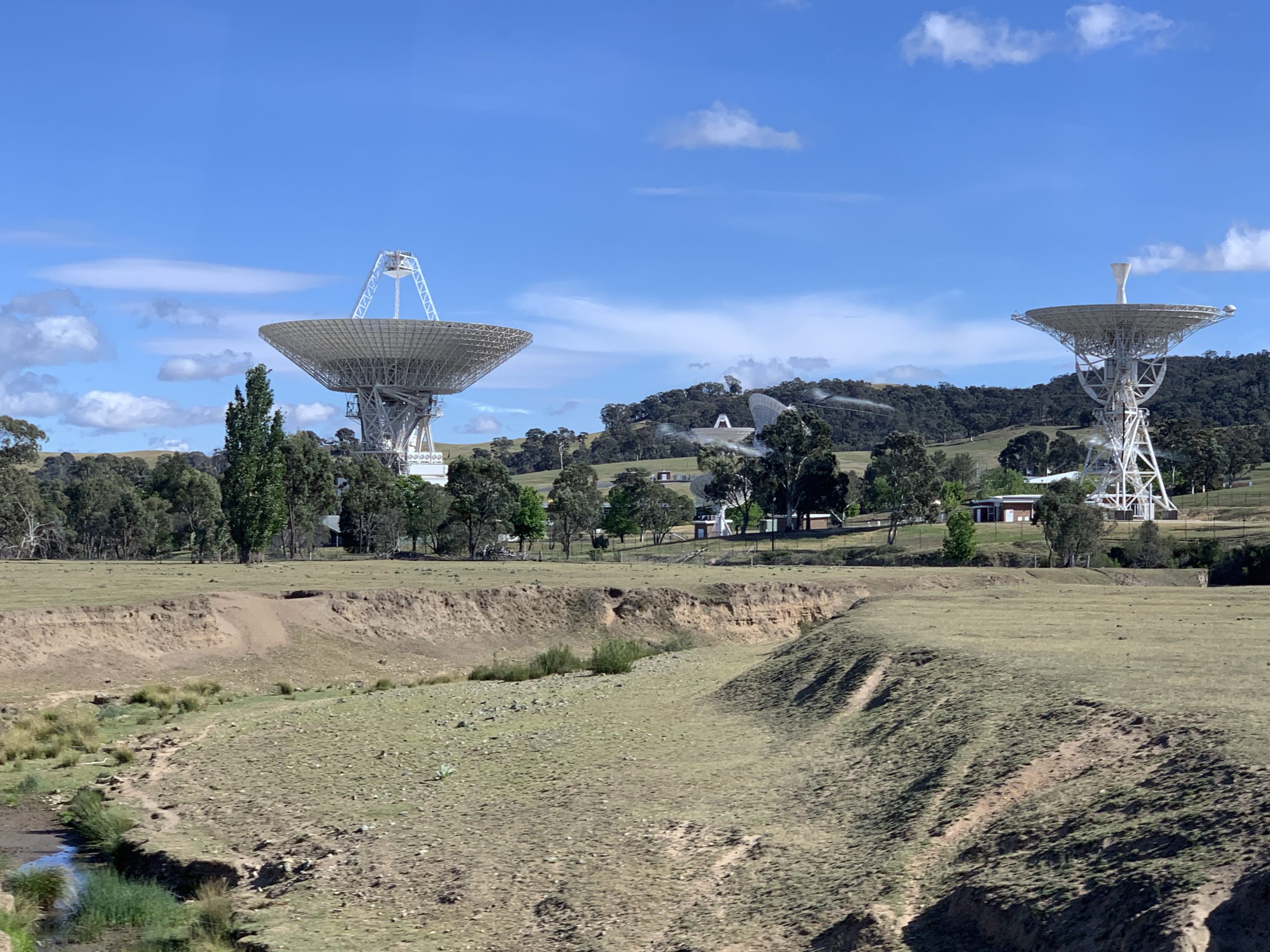
All this while still providing the dissemination of the Copernicus data via the 100G link operated by DFN, the international Copernicus hub run by GRNET, the EUMETCast service to the USA, Australia and China (amongst others).
We should be proud of the achievements we’ve contributed to the GEO community over the last year because the work the scientists are performing is so important. It is shaping our lives today, the lives of our children, and of our grandchildren.
But we can’t rest on our laurels. There is such a huge amount of work still to do, improving not only the connectivity in those regions that need it, but further educating society about this work, and ensuring that valuable data from all over the world can be accessed, shared and monitored – so that researchers the world over can work together to tackle the problems we as a planet and species are all facing.


